Archifdy Ceredigion Archives
CDD/PL: Ceredigion District Council, Planning Department
Acc. 2869
Ref: CDD/PL/9Reference: [GB 0212] CDD/PL/9
Title: Various planning maps
Date(s): Level: file
Extent: 8 items
Scope and Content:CDD/PL/9/1
Cardiganshire County Council, county map showing woodlands, SSSIs, nature reserves etc.
1964
CDD/PL/9/2
Cardiganshire County Council, Town & Country Planning Act 1947 development map of the county showing existing and proposed developments.
CDD/PL/9/3
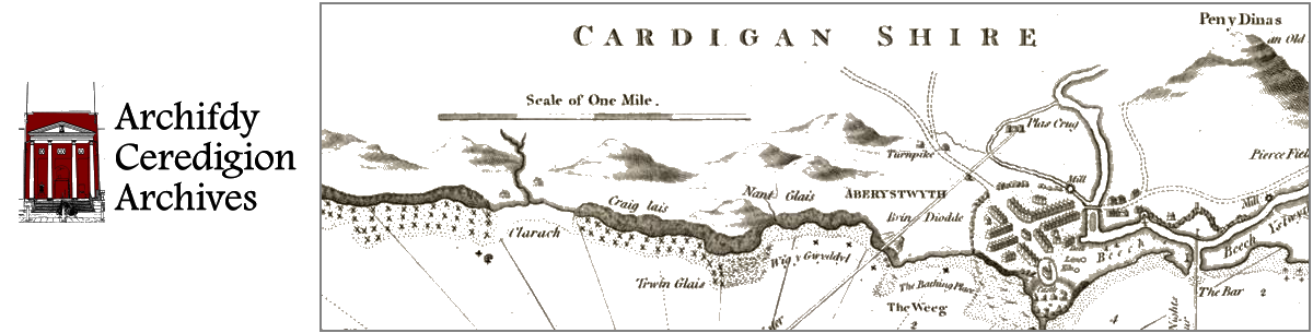
Cardiganshire County Council, Town & Country Planning Act 1947 development map of Aberystwyth showing existing and proposed developments
CDD/PL/9/4
Cardiganshire County Council, Town & Country Planning Act 1947 development map of Lampeter showing existing and proposed developments.
CDD/PL/9/5
Cardiganshire County Council, Town & Country Planning Act 1947 development map of Cardigan showing existing and proposed developments.
CDD/PL/9/6
Ceredigion District Council map of Aberystwyth showing the proposed Park Avenue development and possible land uses.
1985
CDD/PL/9/7
Map of Aberystwyth showing various proposed works and development..
Apparently contemporary with no. 6, above.
CDD/PL/9/8
Map of Aberystwyth with various sites and areas (presumably for development) highlighted in felt-tip pen.
Apparently contemporary with nos. 6 & 7, above.